Asia Geomatic Instruments Sdn Bhd was founded in 2006 with a strong foundation in
surveying and geomatics instruments. Over two decades, we have continuously evolved
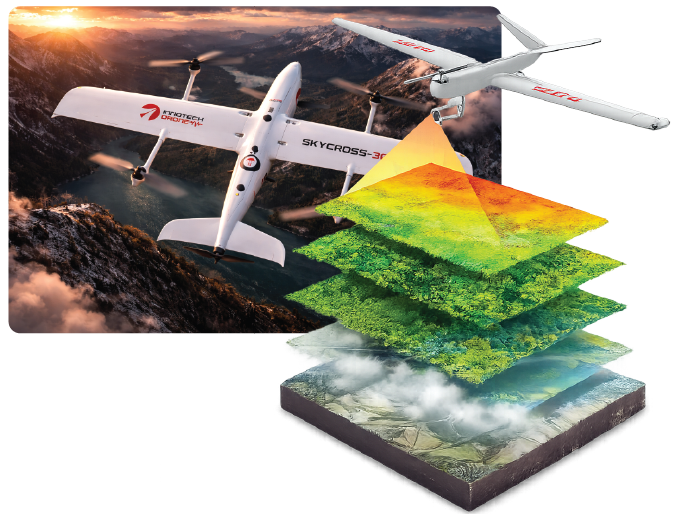
alongside the industry - embracing UAS technology, LiDAR, digital twins, satellite
imagery, and AI-driven analytics.
Today, we are recognised as a key player in Malaysia’s geomatics and drone ecosystem,
supporting critical national infrastructure, environmental management, urban
development, and academic research.
Our growth has been driven by: - Long-term partnerships with trusted global technology
brands - Continuous upskilling through professional in-house trainers - A strong focus on
accuracy, compliance, and reliability - Commitment to innovation without compromising
operational excellence
We don’t just supply technology - we enable transformation.
Vision
To be a leading geospatial technology partner in the region, delivering intelligent,
reliable, and innovative spatial solutions that empower smarter decisions and
sustainable development. (Preferred)
Mission
Our mission is to deliver end-to-end geospatial and drone solutions by providing
high-quality instruments, advanced data services, system integration, and
professional training — enabling our clients to capture, analyse, and transform
spatial data into actionable intelligence. (Preferred)